On a ride today I took a few photos of the sort of stuff we should look at encouraging finishing and changing to make safer and more useable, particularly for kids.
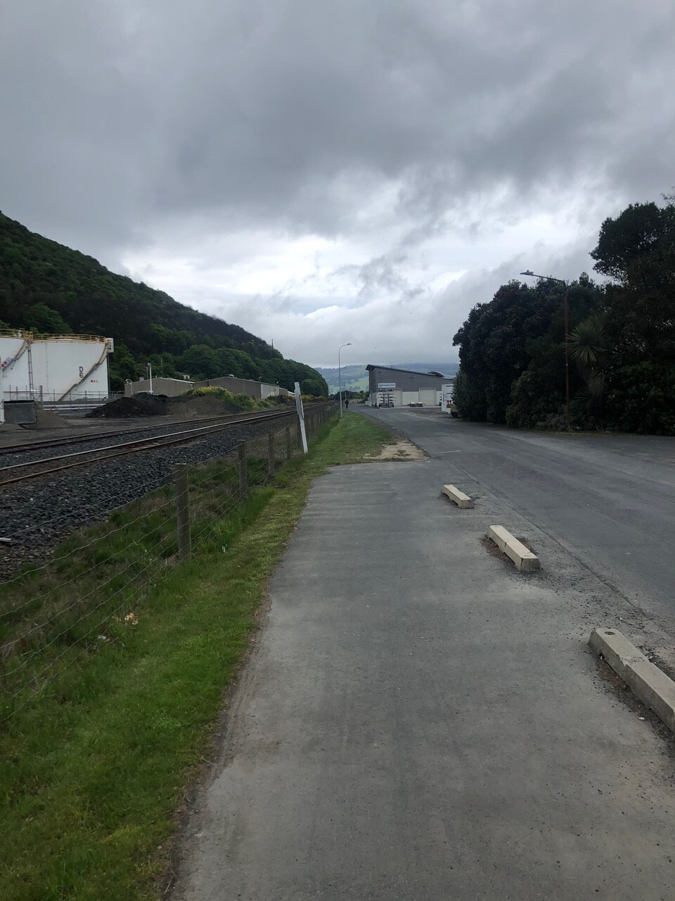
Not sure if you know the path connecting the railway station to the harbour walkway. A few photos and comments below if you do.
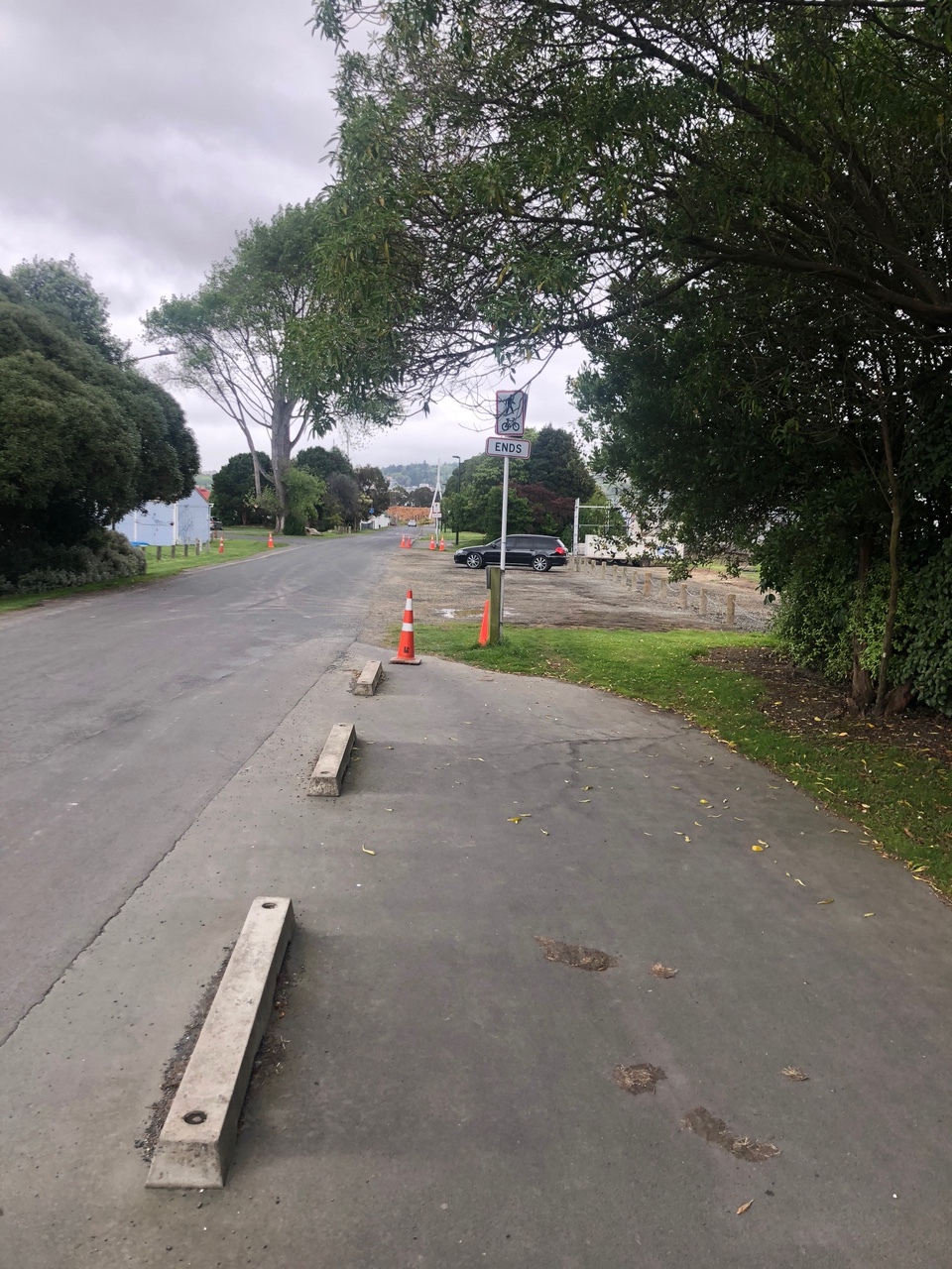
The cycle way ends and starts again 30m later
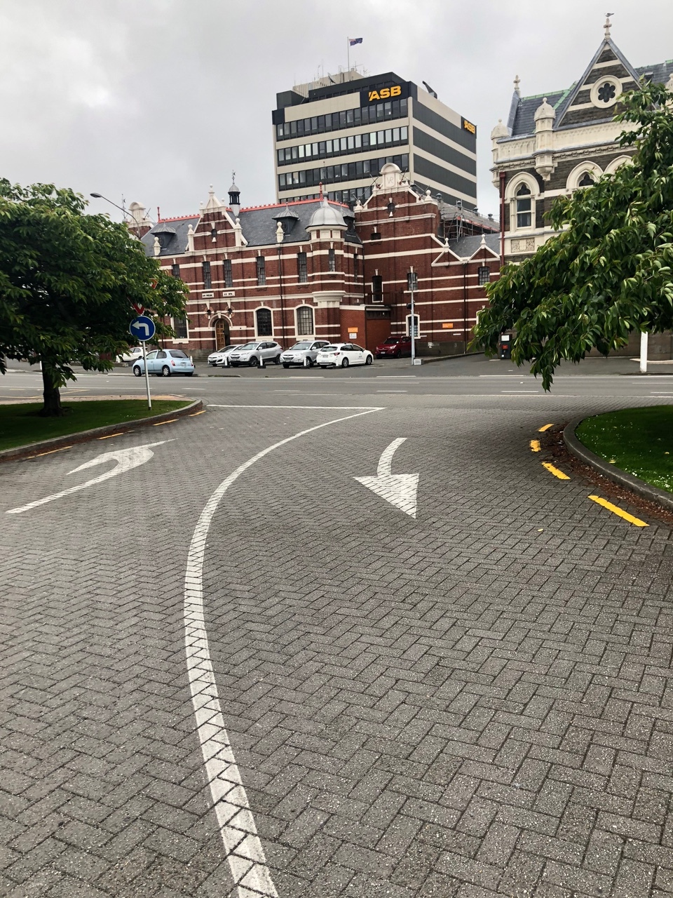
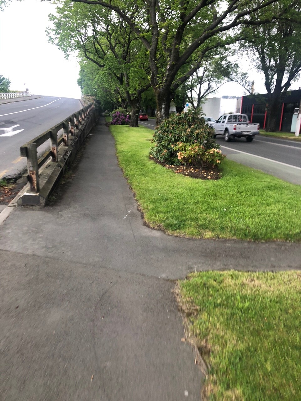
The footpath to Anzac ave is a shared path, but not much to say it is, and ends with nothing
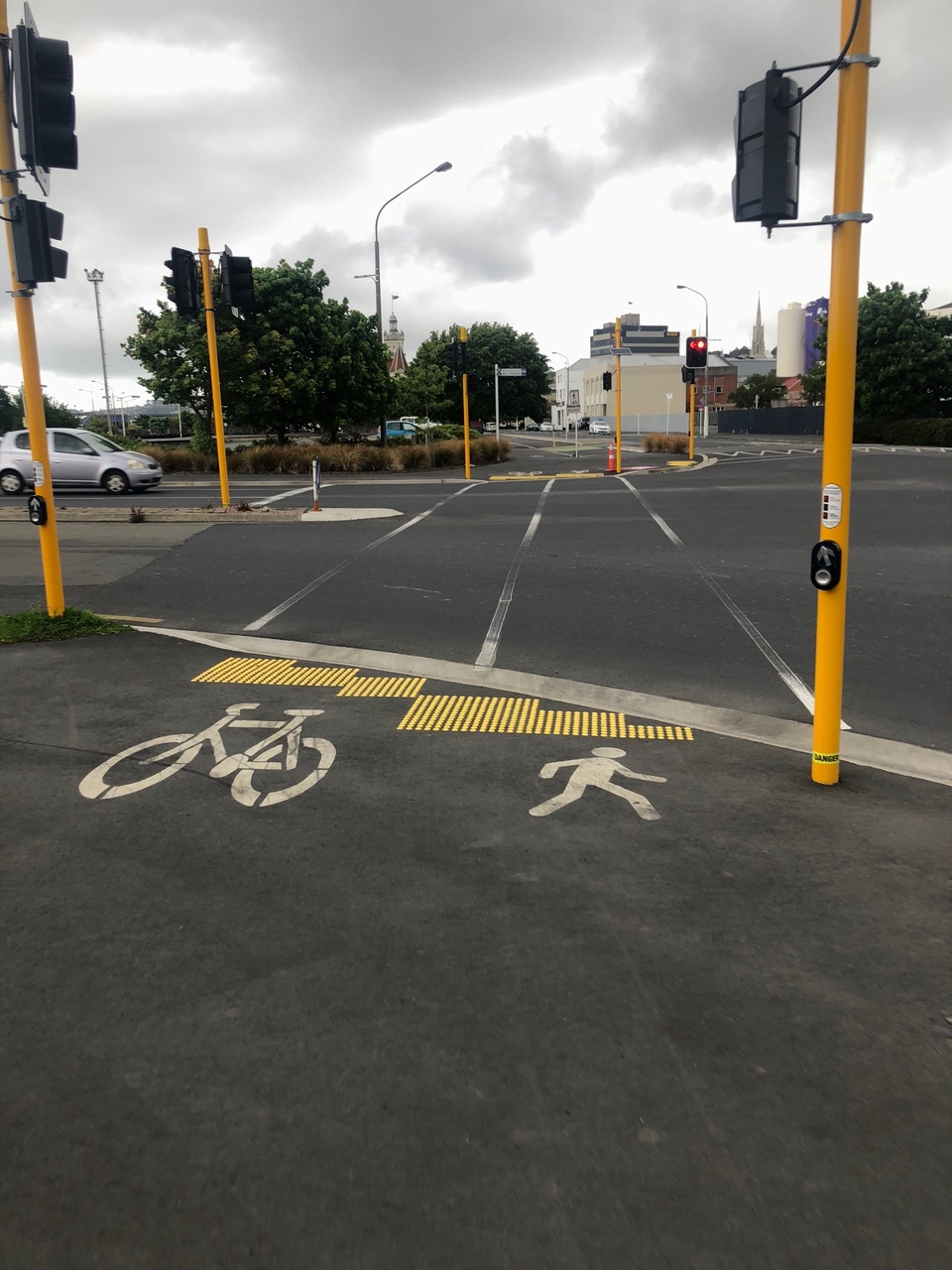
Presumably this is a shared crossing which then goes back onto the road
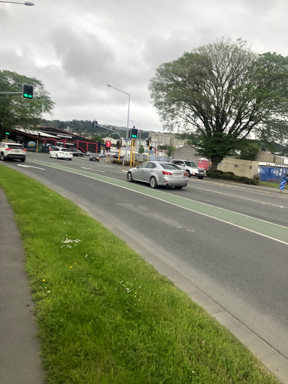
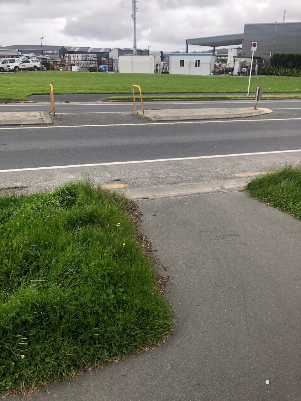
Cycle lane starts in the middle of nowhere the goes between heavy straight and turning traffic on state highway. Shared path possible but could be a bit wider
As above
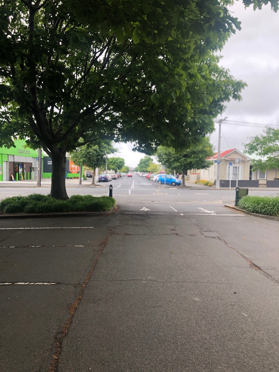
Shared path or bidirectional cycle lane possible on Anzac ave connecting to lane near Railway Station
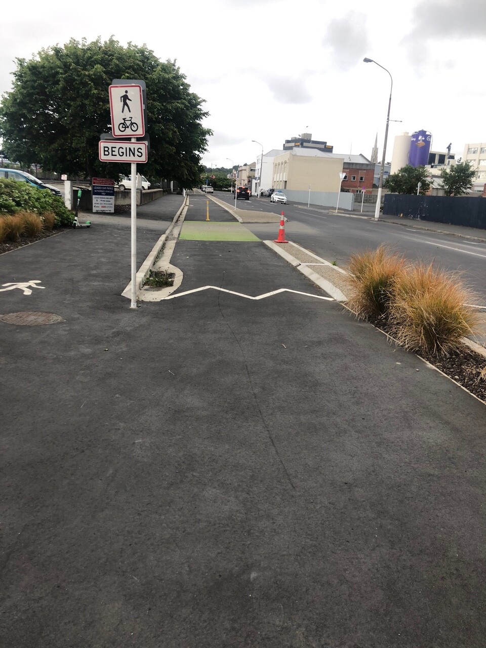
Why do pedestrians and cycles swap sides?
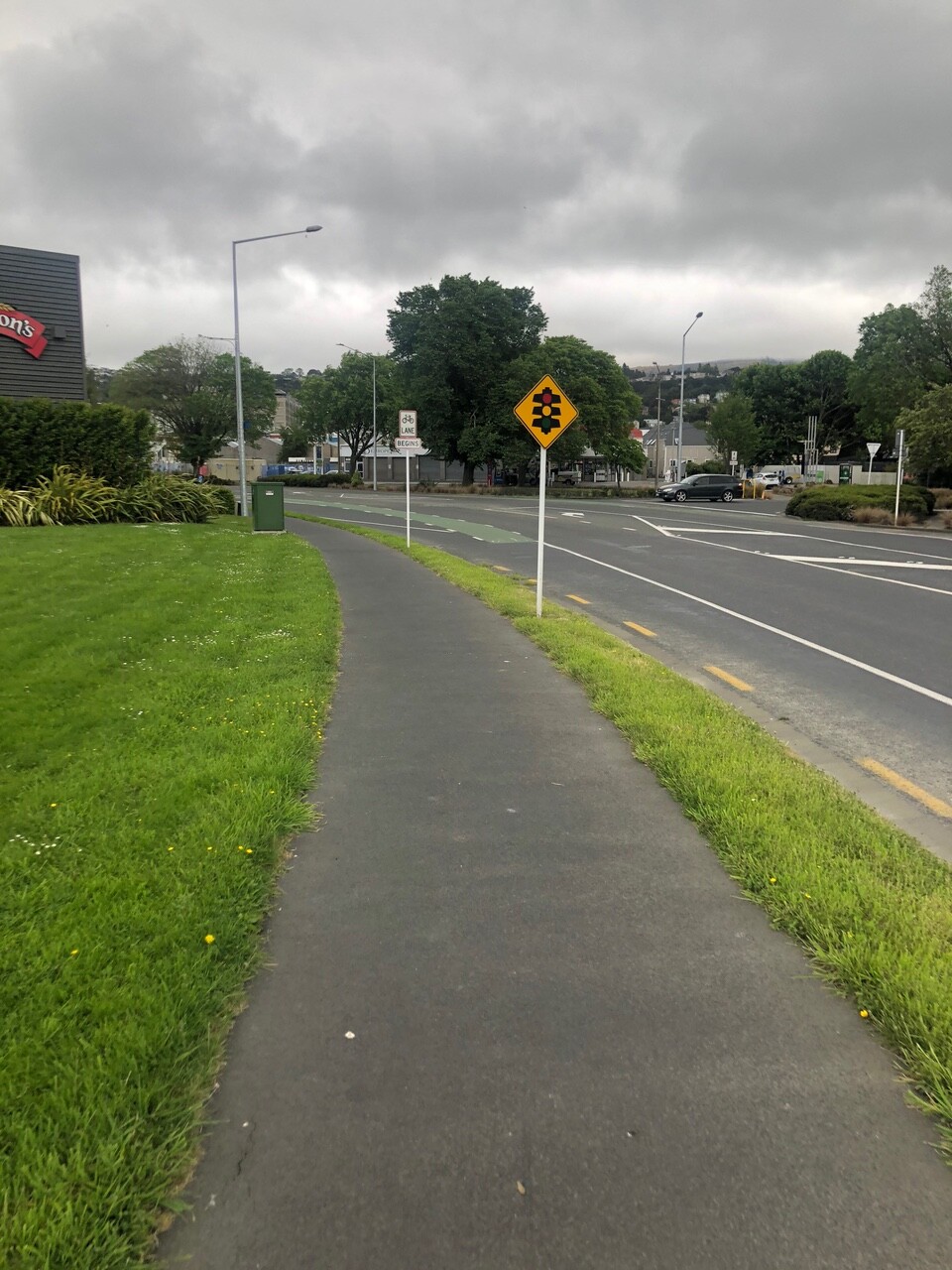
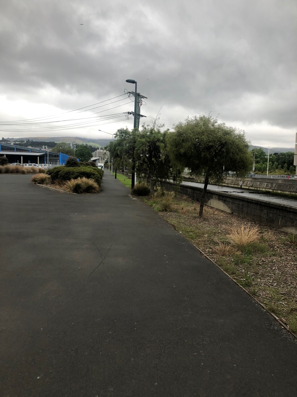
Nice cycle lane, but very expensive and not connected to anything similar
How come come cycle lane ends straight into state highway
Cycleway ends 300m before harbour shared path