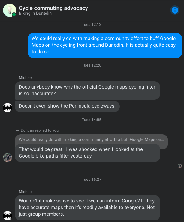
A recent chat on the Cycle community advocacy arm of Biking in Dunedin raised the issue of Google Maps being a bit rubbish for cycling in Ōtepoti Dunedin:
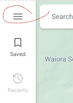
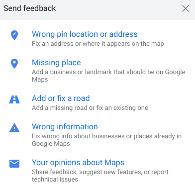
Simply visit Google Maps with the Biking filter on, click on the sidebar (reveal using the hamburger in the top left of the Maps page) and then Edit the map. You’ll get this modal:
Add or fix a road has been the one that has worked well for me. I’ve found them to be surprisingly responsive - especially if you include some solid evidence. It typically takes a week or so to change.
The only downside to doing this is that it is ‘locked’ in Google’s ecosystem, and will never make it to Apple maps or more open systems. But you can’t win them all!
I’d encourage us all to have a crack at it. Many hands make light work!
Providing Vector files of all the bike paths is the role of the municipality, not random google maps users like us. Google has a portal specifically for city administrators, so they can upload/sync all the GIS files people at the city use and hoard. Getting that tresasure trove of Map files off council employees laptops and into the cloud (google maps for example) is the job of those paid city administrators. Here is the link to the google portal to upload the city owned map files titled : "Make your geospatial data accessible and useful to everyone"l. Once google has access to geospatial files of the bike paths, then they can do their magic route planning based on your start end points. I noticed that sometime n the last 2 months the first part of the Harbour pathway to St Leonards was added to google maps, but not the new part to Port. To be clear users can make small tweaks to suggest corrections but the vast majority of the bike routes must be provided by the DCC/ORC. This is not a hard job. the data is there, it just needs to be provided to google so us mortals can benefit. And if the city doesn’t have its Geographic Information System (eg ARCGIS) up to date then it needs to do that asap by sending their engineers into the field. Once that data is in the cloud and therefore in your pocket, then you can easily find the best safest, most efficient bike route from A to B. you’ll find many paths you didn’t even know existed -shortcuts for making a better safer commute. Thousands of other cities globally do this well and keep it up to date as they modify their bike paths. For over 10 years, every city Ive travelled to in North America has their paths on google, and I can reliably use google maps to find my bike route. Dunedin hasn’t figured this out yet which is shameful. Also shameful that google NZ isn’t educating muncipalties and hounding them for the data. This info was also posted on Biking in Dunedin FB group on 19 Oct 2023. Bike paths are only good if you can find them easily!!!