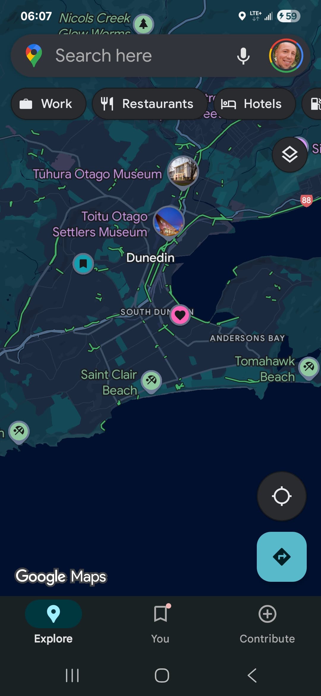
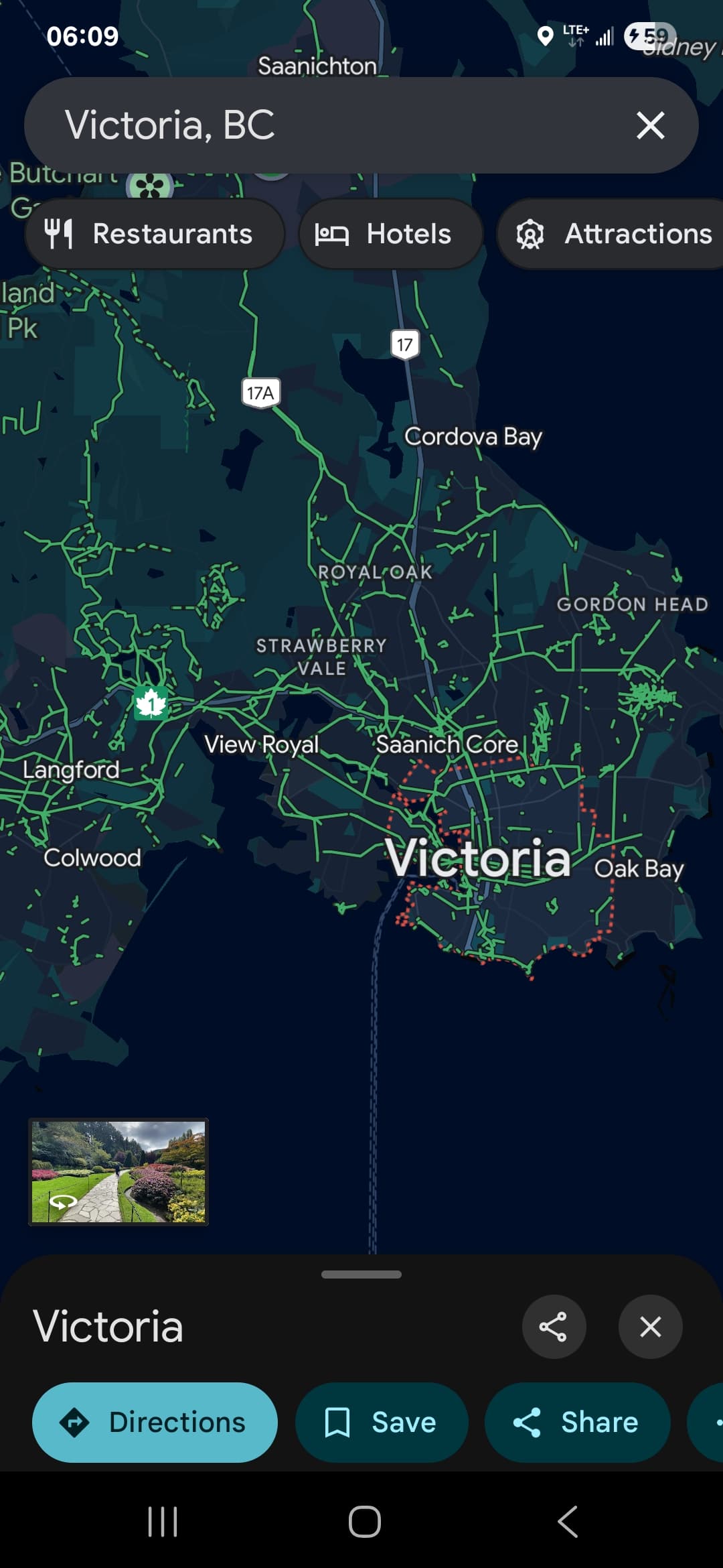
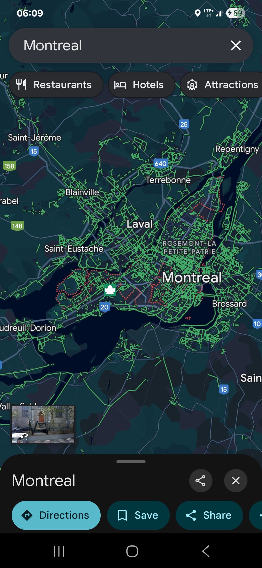
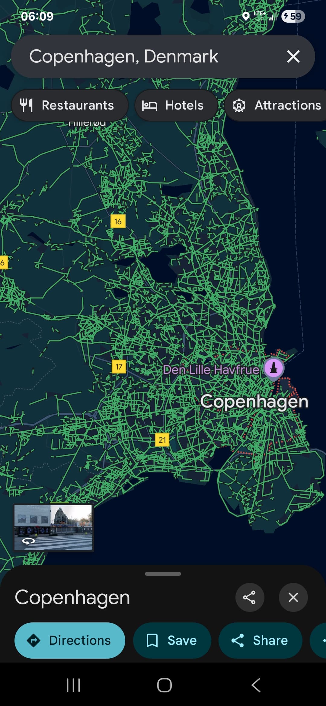
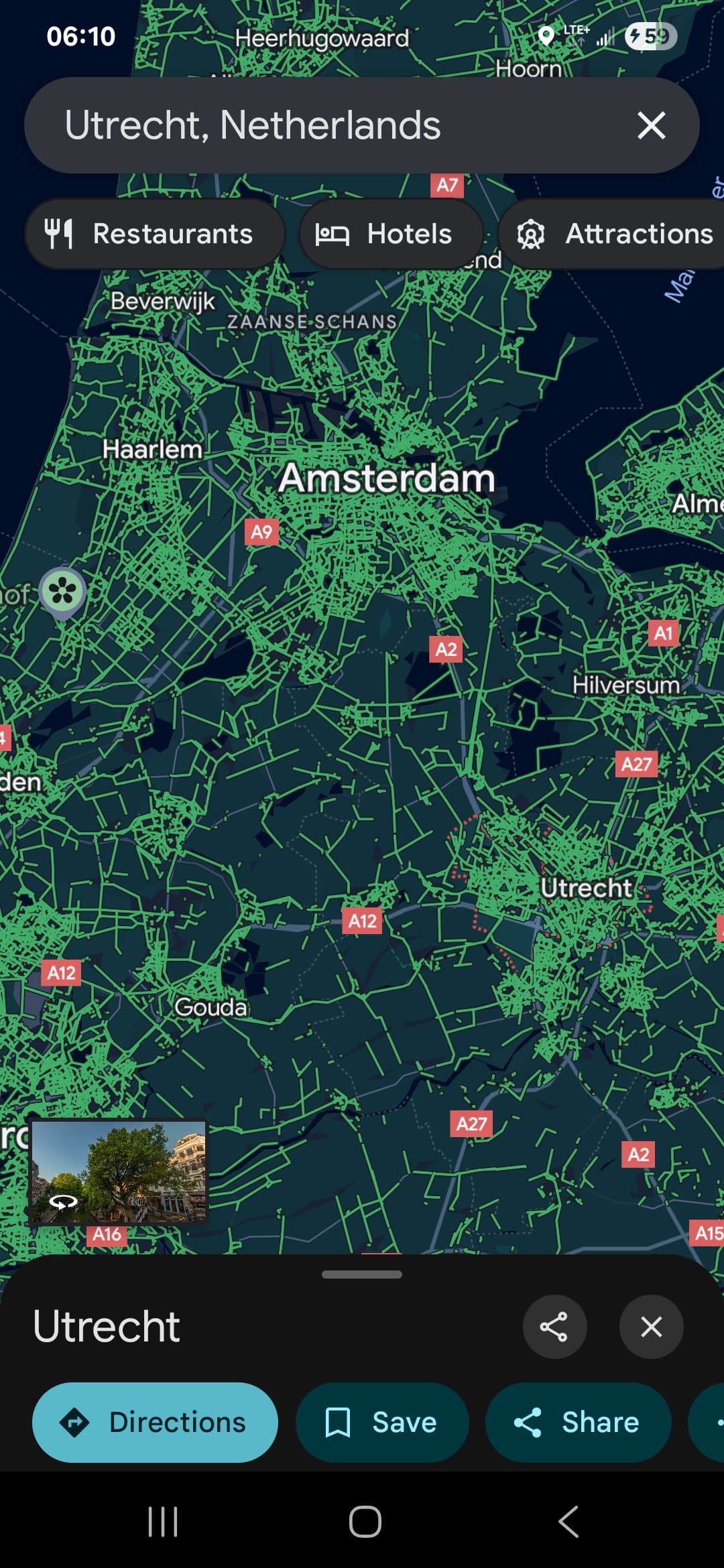
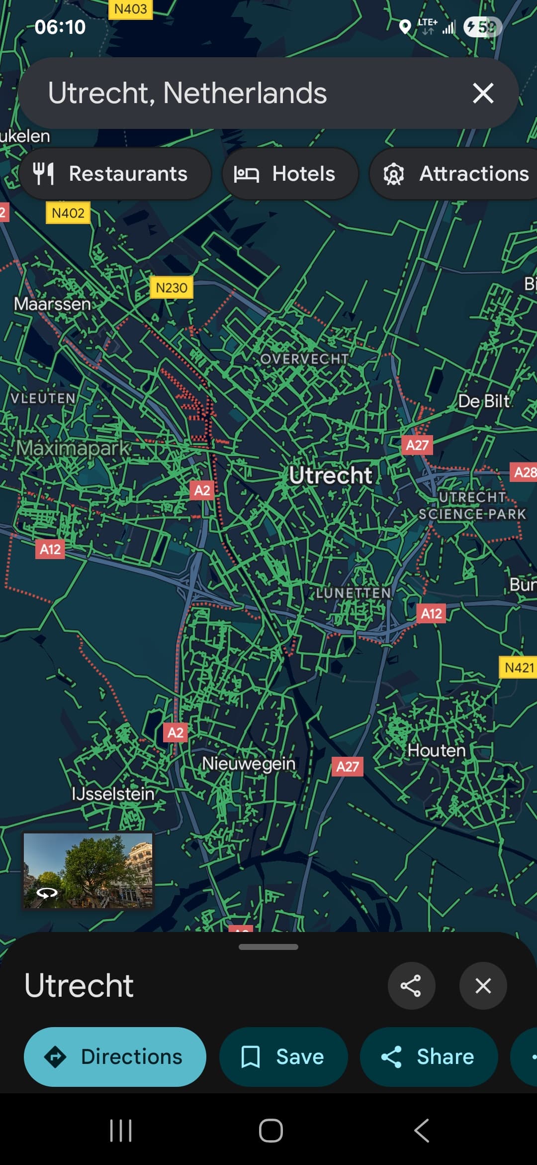
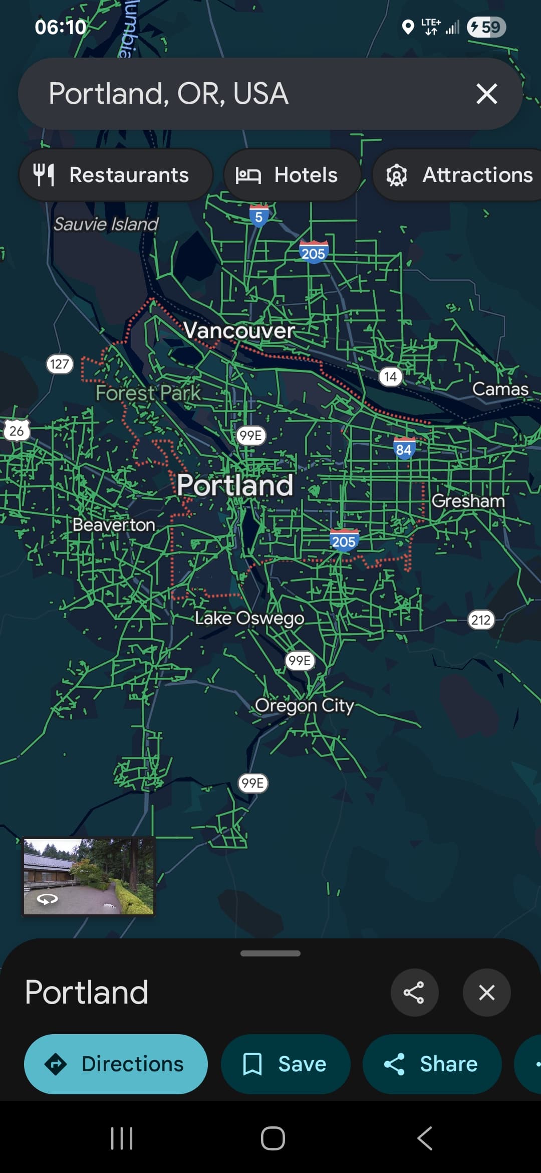
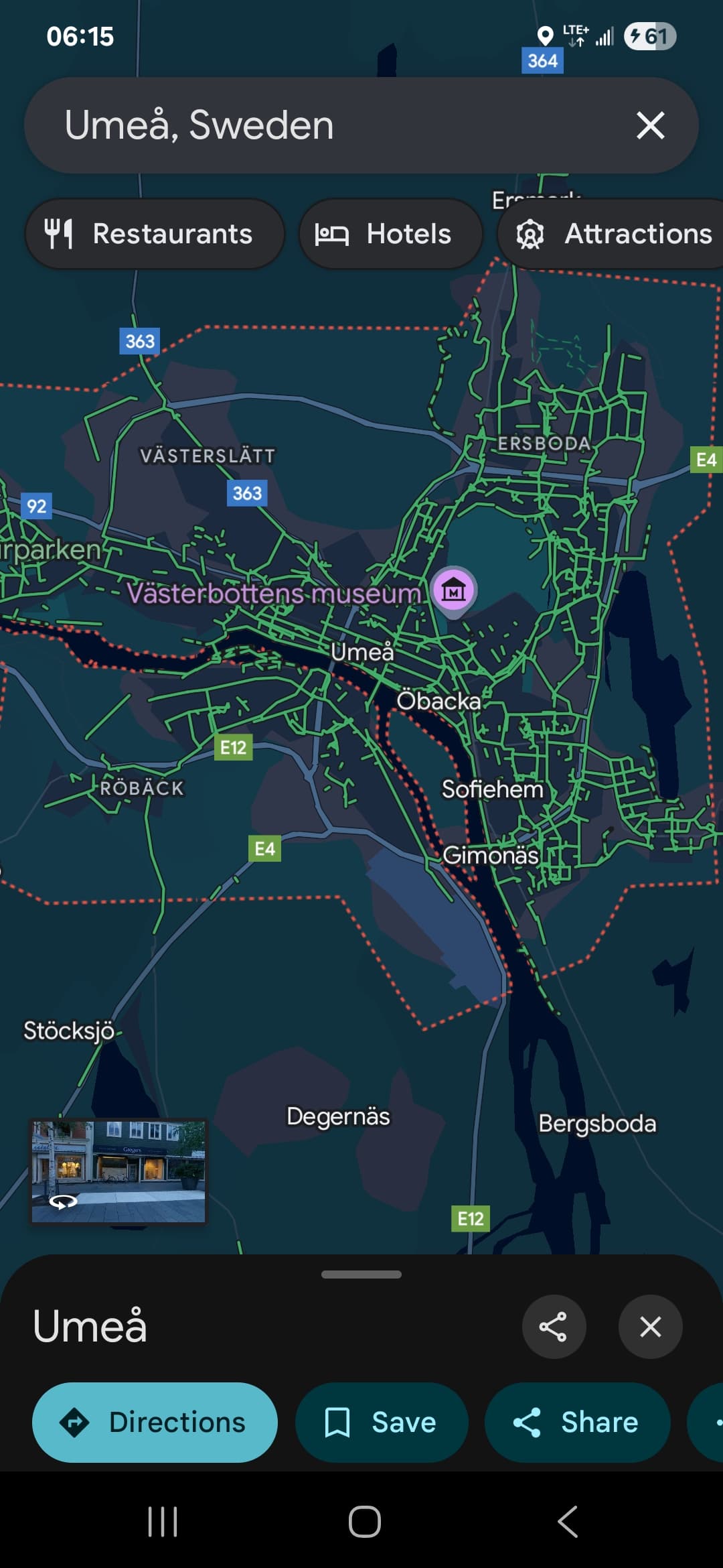
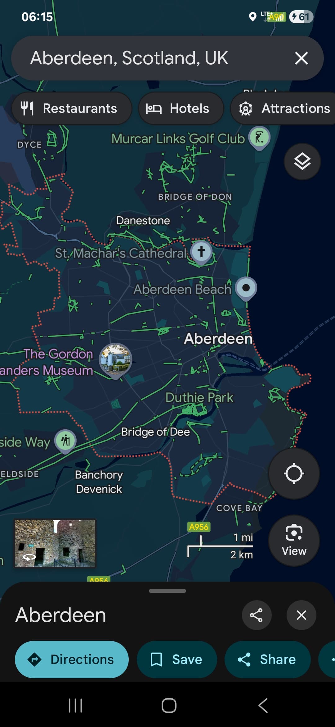
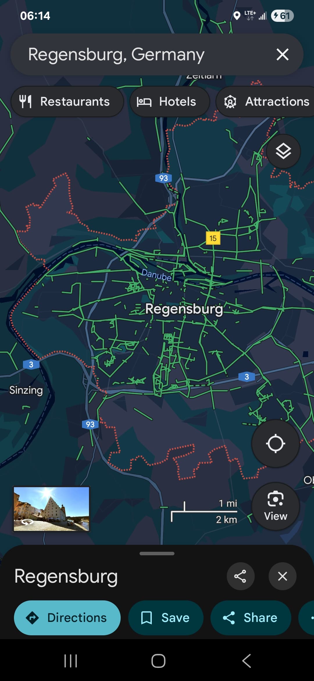
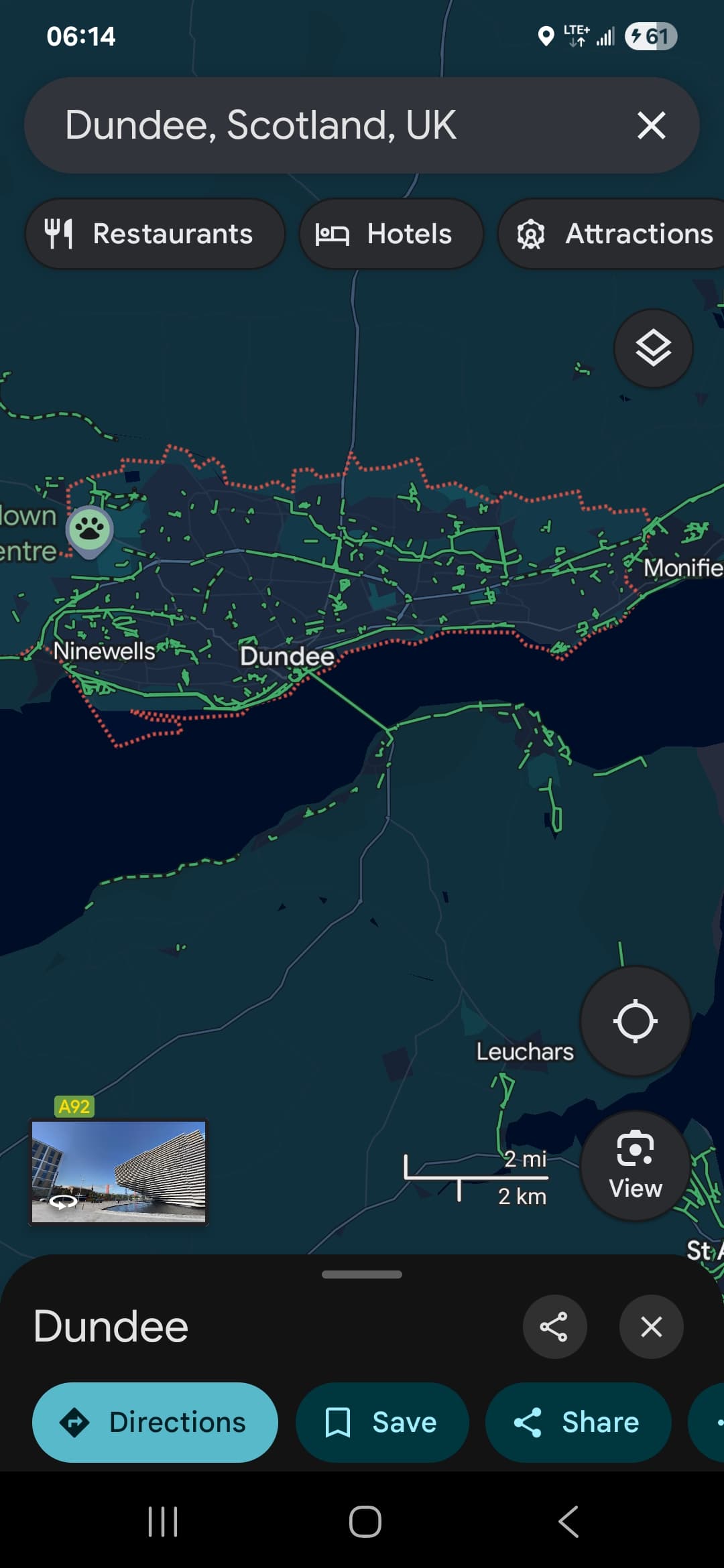
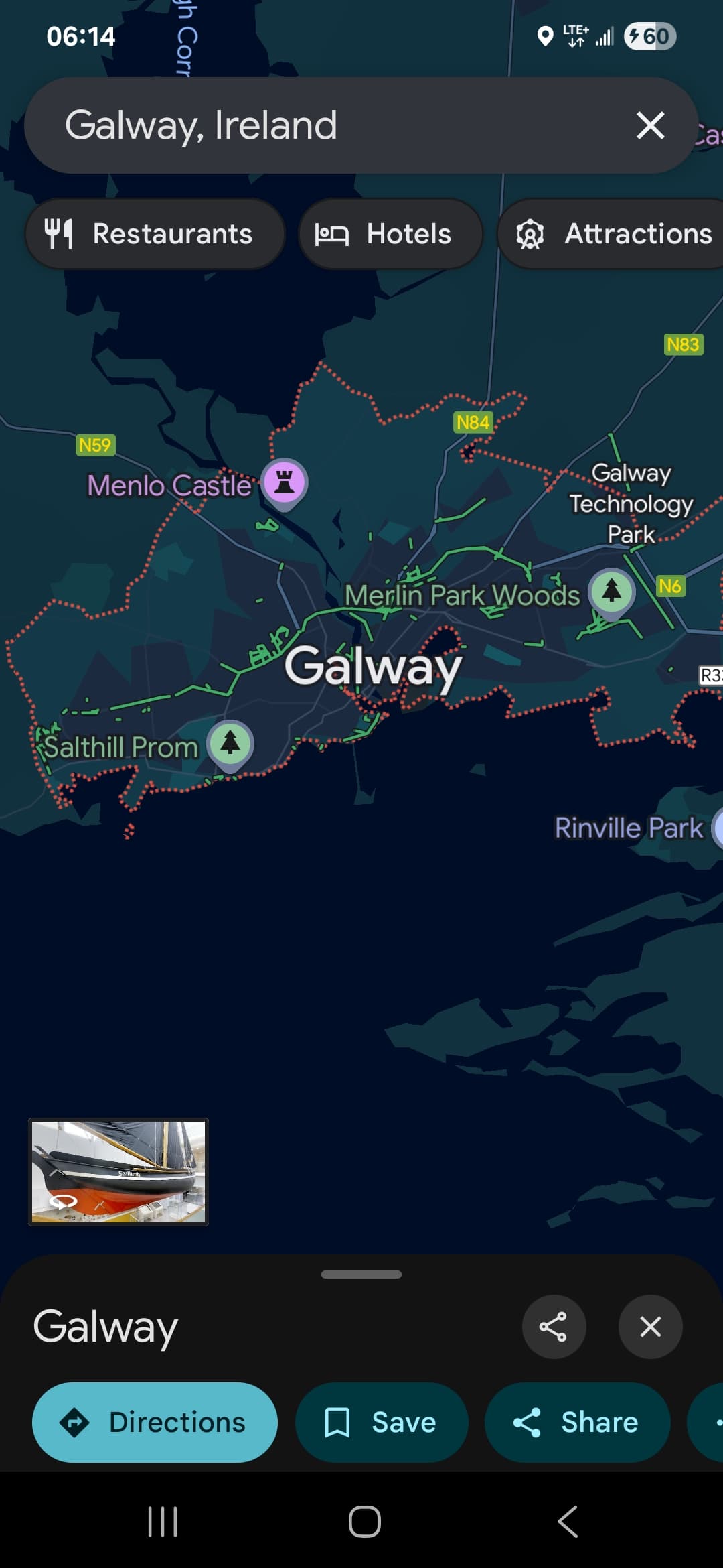
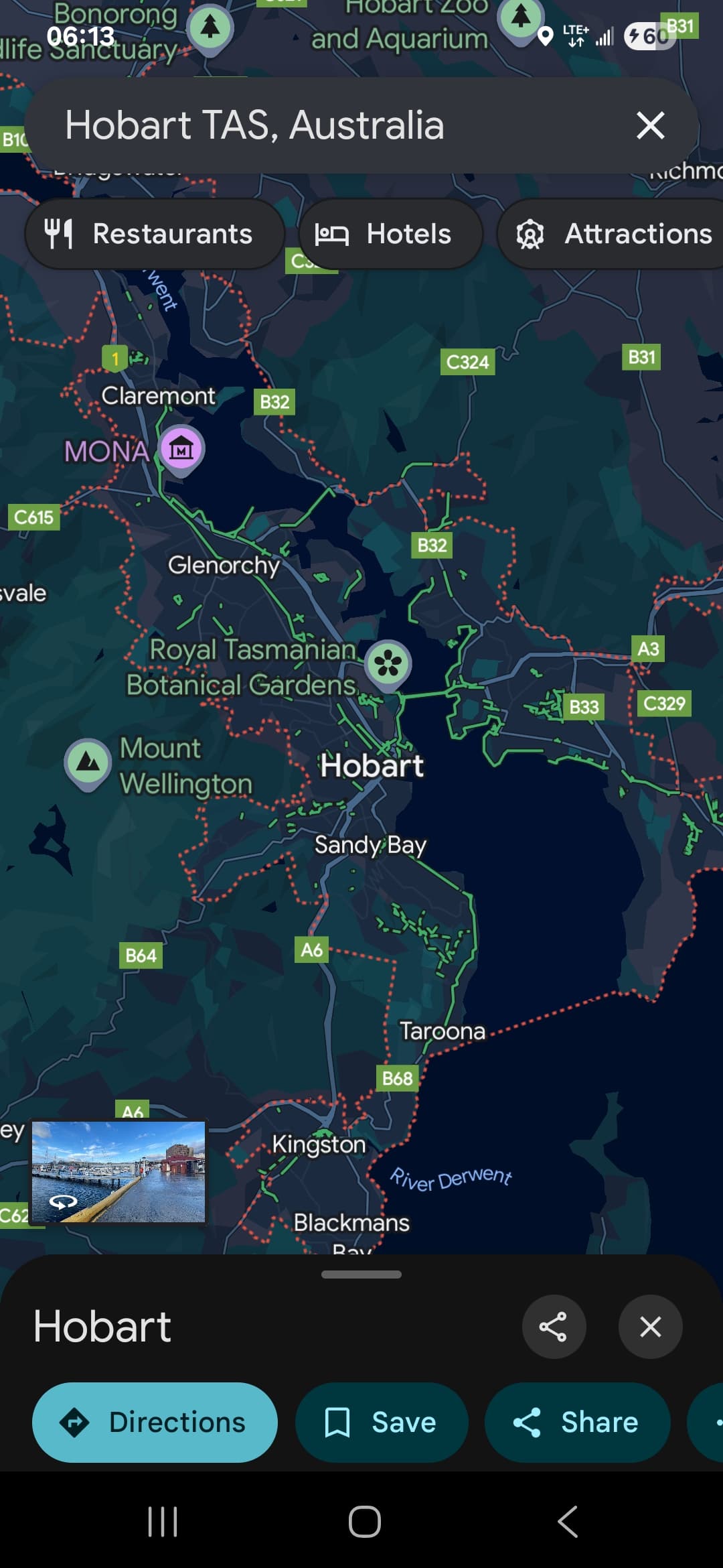
I recently completed a 3 week bike tour around Portugal with my daughter. Google maps and other GPS apps were extremely important to our daily navigation. Visiting foreign cities like Lisbon or familiar one’s like Calgary or Victoria in Canada and you come to realise that great physical infrastructure is only great if you can find it. Using google maps to get directions quickly helps me decide if i should bike, drive, uber, walk ot take transit. If we look at dunedin on google maps we can see that the DCC still has a ways to get to get our bike paths mapped correclty into google using their submission tool
https://contentpartners.maps.google.com/welcome?hl=en
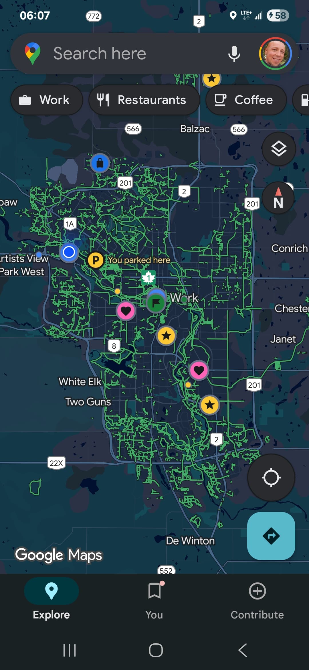
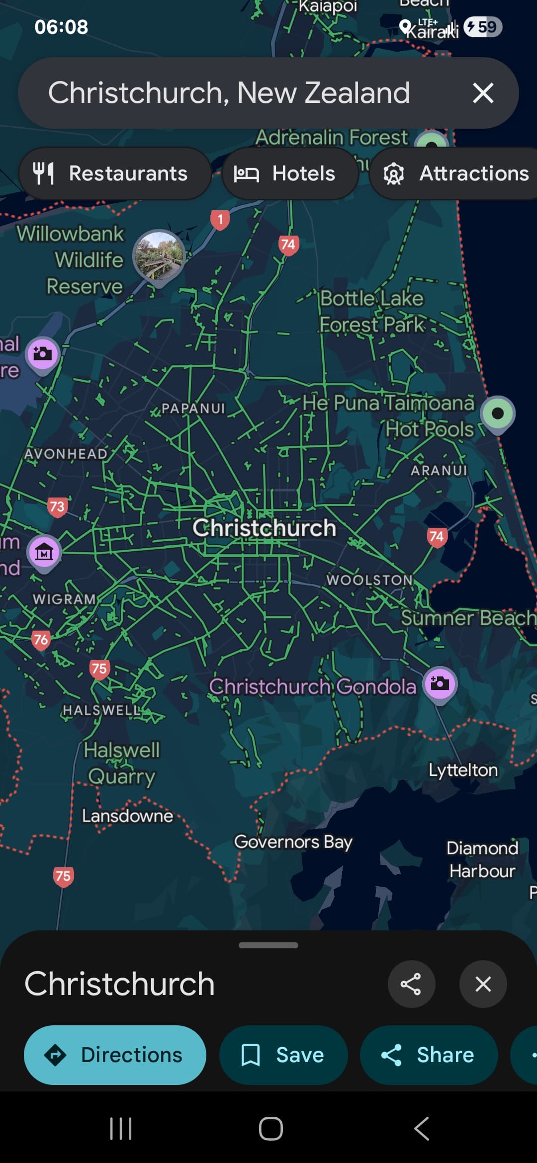
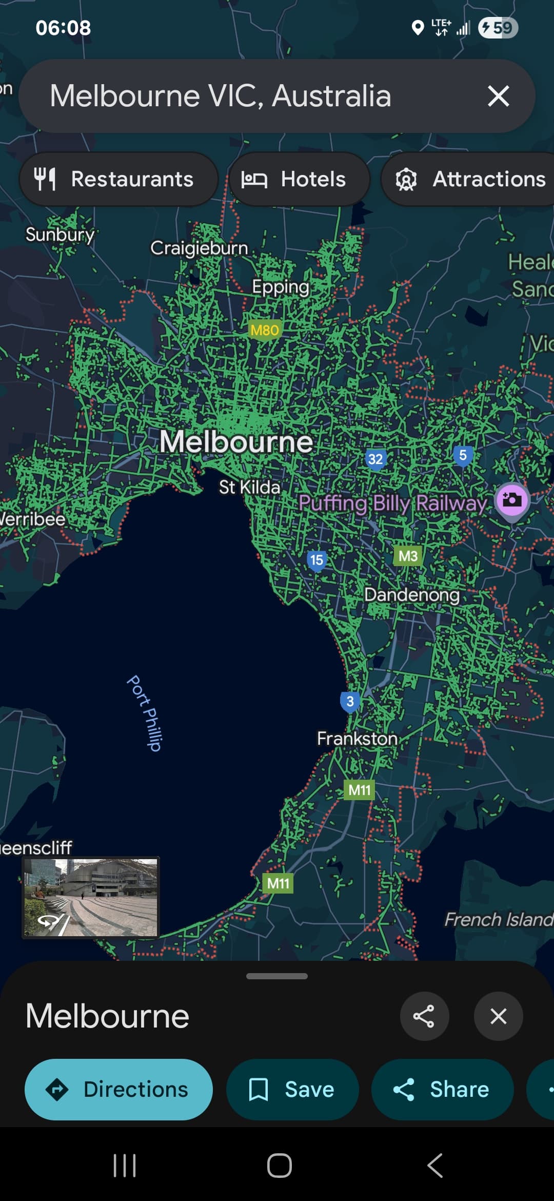
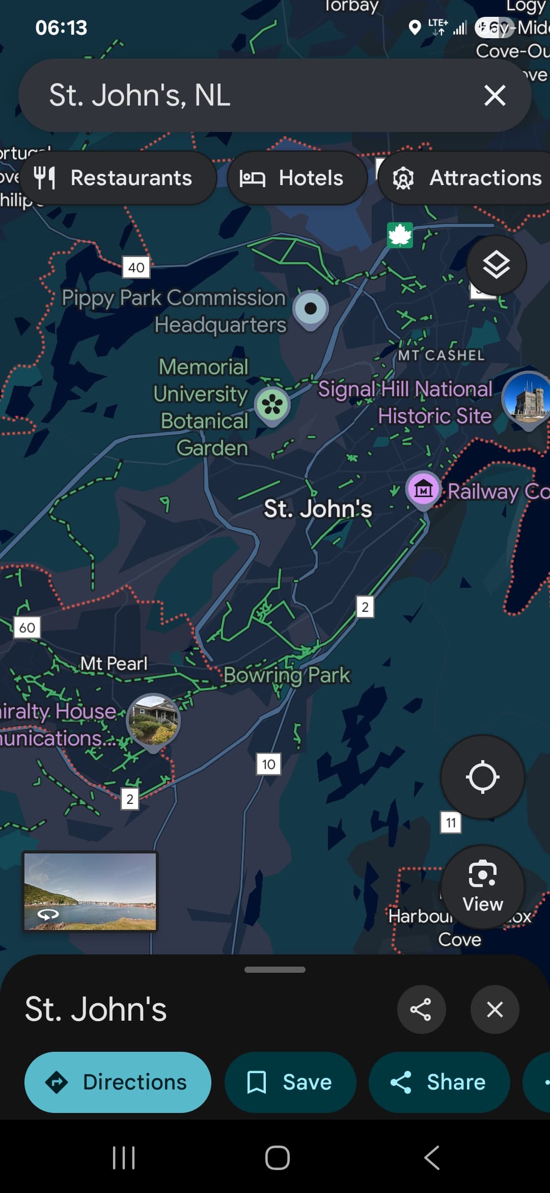
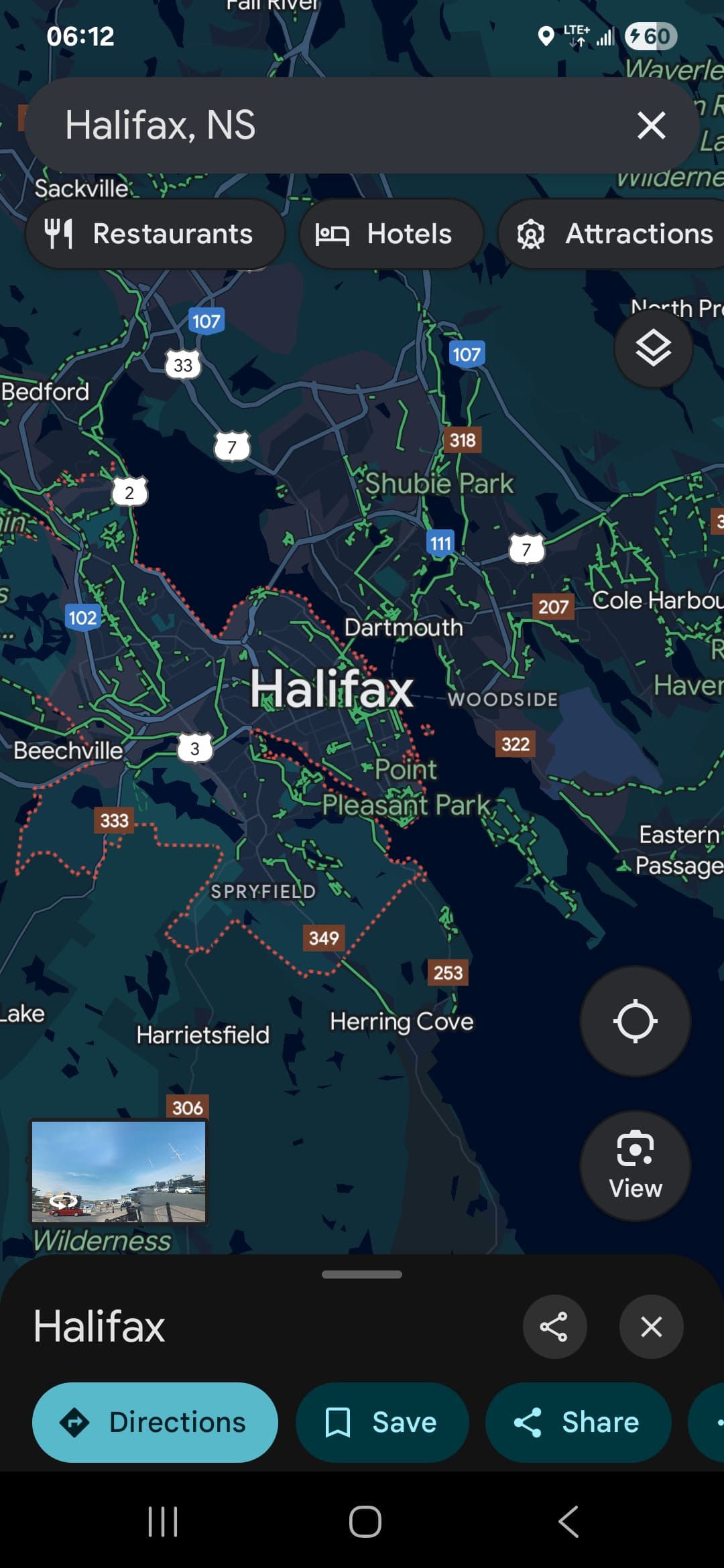
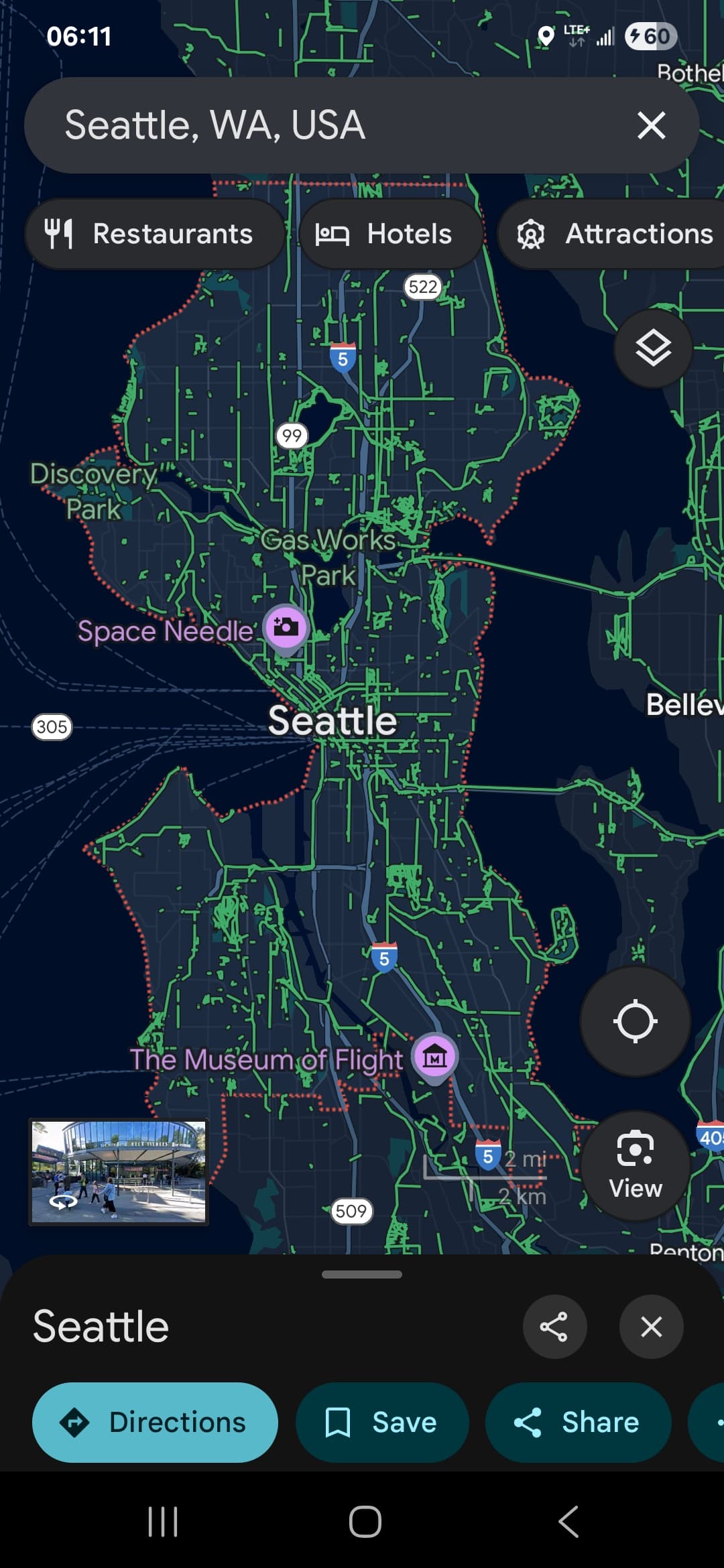
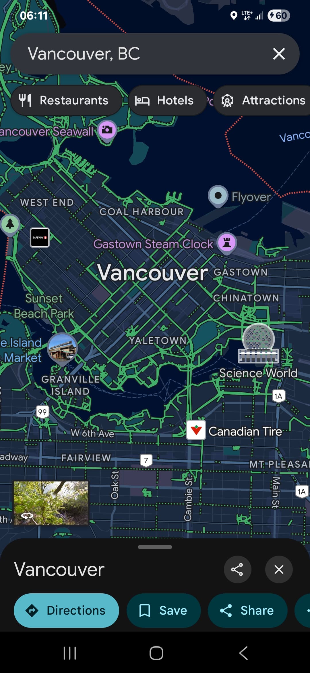
We also as a community can take a role in submitting corrections to pathways but the primary responsibility rests with the DCC. It is interesting looking on google maps (bike path view) to see how many green lines (bike paths) different but geographically simialr cities have. We can see hilly cities like Dunedin still have a long way to go to get infrastructure caught up with e-bikes (which make all cities flat). Lets continue to lobby DCC to improve their data set uploads to Google so everyone can find and use the infrastructure we have.
That’s a really revealing exercise, and I think would make an interesting poster.
We need to ensure the scaling is identical and that the city size is listed (What is the population of Dunedin’s “city” area? The 130k figure includes everything from mosgiel to middlemarch..!). Also do the green lines mean the same thing for each city? I know in the UK some green line routes are basically normal streets with tiny “bike route” signs. Plenty of scope for some cities to designate bike route that wouldn’t be considered safe routes in other cities.
F.